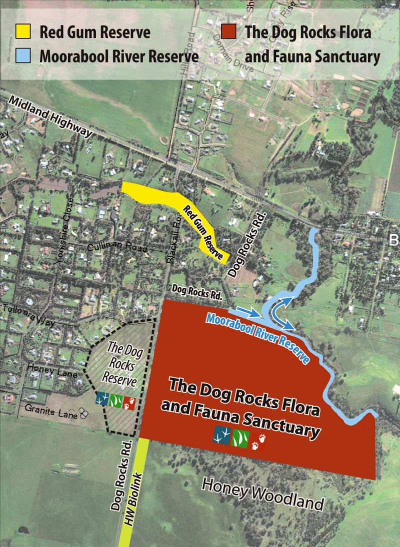
BFS Landcare map of reserves and sanctuary
Landcare Projects
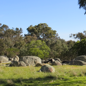
Dog Rocks Flora and Fauna Sanctuary
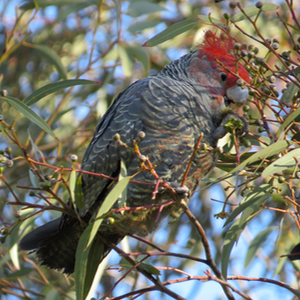
Gang Gang Cockatoo
The Dog Rocks Flora and Fauna Sanctuary and its riverside location is known especially for its rich birdlife and old growth trees.
Moorabool River Reserve
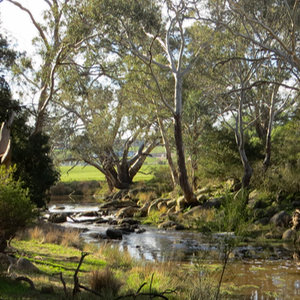
Moorabool River Reserve
Where long grass and fences once prohibited walking beside this beautiful section of the Moorabool River, now a pathway meanders along the bank.
Park benches have been strategically placed to allow visitors to rest and absorb the peaceful ambience. Observe the varied birdlife and maybe a catch swamp wallaby in the shadows.
Red Gum Reserve
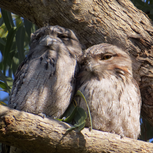
Tawny Frogmouths
The Red Gum Reserve follows the mostly dry bed of the historical Primrose Creek that flows towards the Moorabool River.
In 2001 the Shire of Golden Plains and BFS Landcare began work to turn this small corridor into a walking track for locals and also increase the protective habitat for native flora and fauna in the area.
Honey Woodland
Honey Woodland
Farmer Bill Honey’s ‘Woodland’ just south of the Dog Rocks Flora and Fauna Sanctuary has some wonderful old remnant indigenous trees which harbour the same rich bird and animal life as the sanctuary.
Dog Rocks Reserve
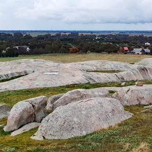
Dog Rocks Reserve
The Dog Rocks Reserve contains an ancient Devonian granite outcrop beside Dog Rocks Road on the top of the hill in south western Batesford.